- Grid reference
- NH507377
- Type
- Settlement (Accurate position)
- Altitude
- 210m EA Facing
- OS Pathfinder
- 192
Language elements
- G
- àirde
- G
- an
- G
- droigheann
Parishes
- KILTARLITY & CONVINTH
- CONVINTH
Old forms
- Form
- Airdendrean
- Date
- 1832
- Reference
- Lovat/1832
Notes
'Height of the (black)thorn'. The settlement lies immediately north-west of the old parish kirk of Convinth.
Images
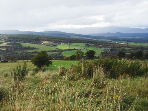
viewed from Teavarran, across Glen Convinth
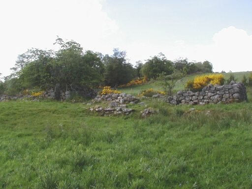
part of the ruined settlement of Ardendrain
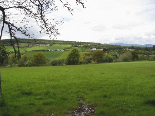
Ardendrain from Ruifour